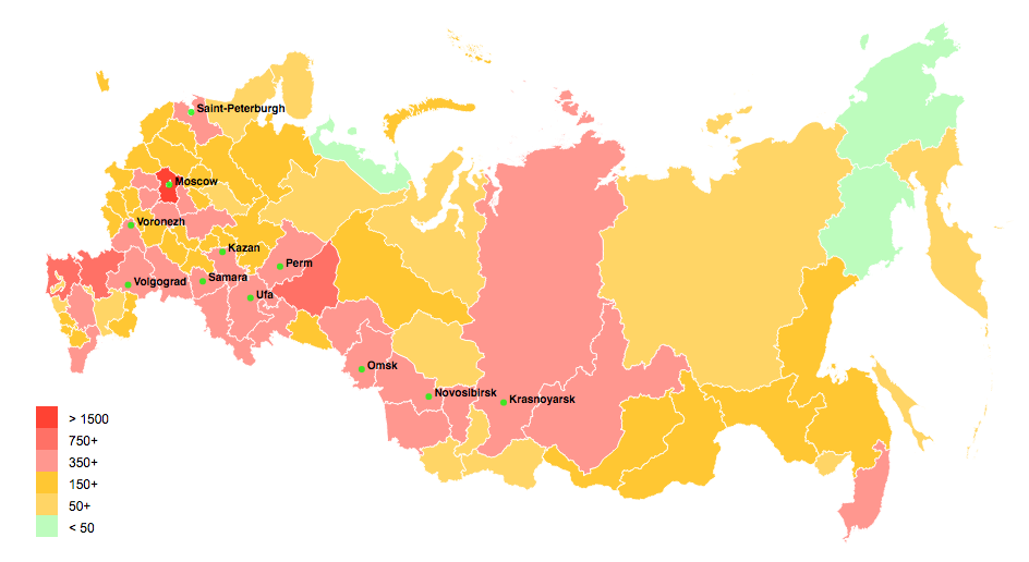
In a next version of the platform data can be plotted on historical maps for each of the five cross-sections. This is a preview of a 2002 map with data and provincial boundaries.
For the time being, we share, free of charge and under the same licensing conditions as the data, a map of the Russian Empire, administrative-territorial division 1897 (Shapefile, district level & governorate level).